Use cases
Enable asset tracking
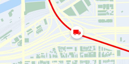
Dynamically track and visualize moving assets. If you manage a large fleet, contact sales

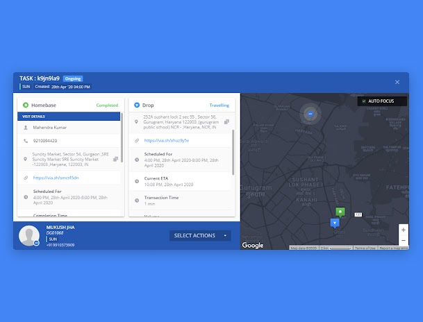
Track assets
Show dynamic updates
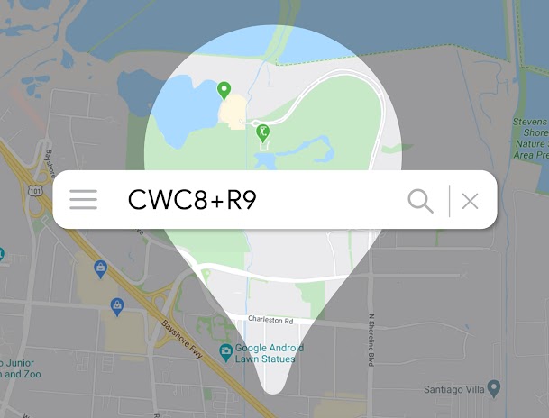
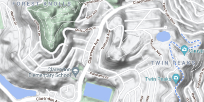
Locate without addresses


Products built for asset tracking
Dynamic Maps
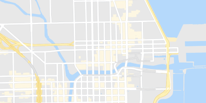
Customize and style interactive maps using Cloud-based maps styling for real time updates across all devices and platforms.
Learn more
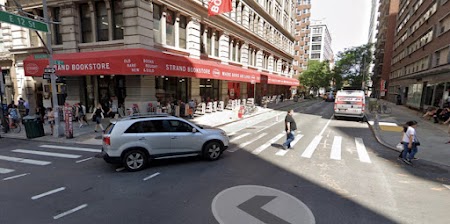
Dynamic Street View
Embed real-world imagery with 360° panoramas.
Elevation
Provide a simple interface to query locations on the earth for elevation data.
Static Maps
Embed simple map images on your website with minimal code.

Static Street View
Embed a static (non-interactive) Street View panorama or thumbnail into your web page, without the use of JavaScript.
Roads
Determine the route a vehicle travels.
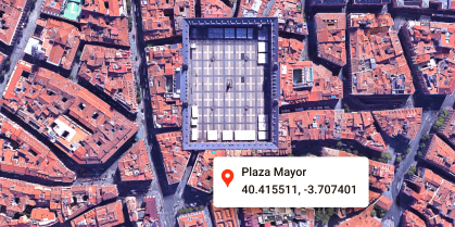
Geocoding
Convert addresses to geographic coordinates or the reverse.
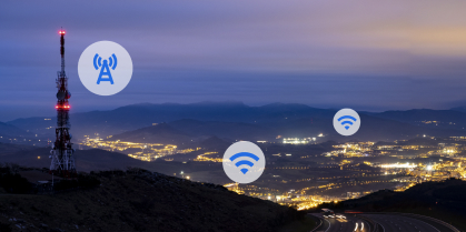
Geolocation
Return the location of a device without relying on GPS, using geospatial data from cell towers and WiFi nodes.
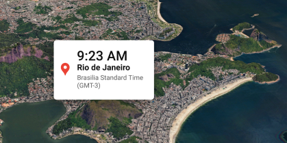
Time Zone
Get the time zone for a specific latitude and longitude coordinate.


Google Maps Platform helped Fleetminder create a unique web-based dashboard and system that keeps the company on the cutting edge of its industry and makes it stand out in the highly competitive asset-tracking, fleet management market.
Mohit Khanna
CIO and Co-founder, Fleetminder

-
*Free usage refers to monthly calls available at no cost. Essentials Map Tiles APIs provide up to 100,000 calls at no cost per SKU per month.
-
Product availability, functionality and terms may differ for customers with billing addresses in the European Economic Area (EEA). Learn more