Products
Product availability, functionality and terms may differ for customers with billing addresses in the European Economic Area (EEA). Learn more
Solutions
By industry
By use case
Products
Product availability, functionality and terms may differ for customers with billing addresses in the European Economic Area (EEA). Learn more
Solutions
By industry
By use case
Products
Product availability, functionality and terms may differ for customers with billing addresses in the European Economic Area (EEA). Learn more
Solutions
By industry
By use case
Use cases
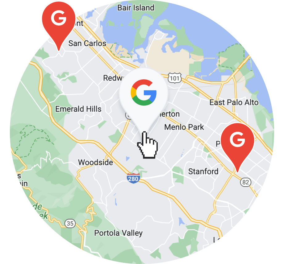
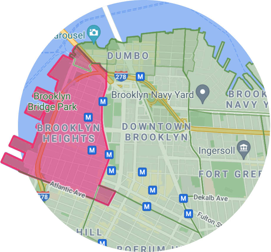
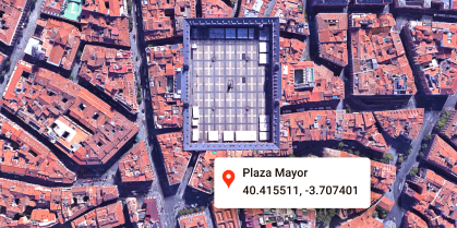
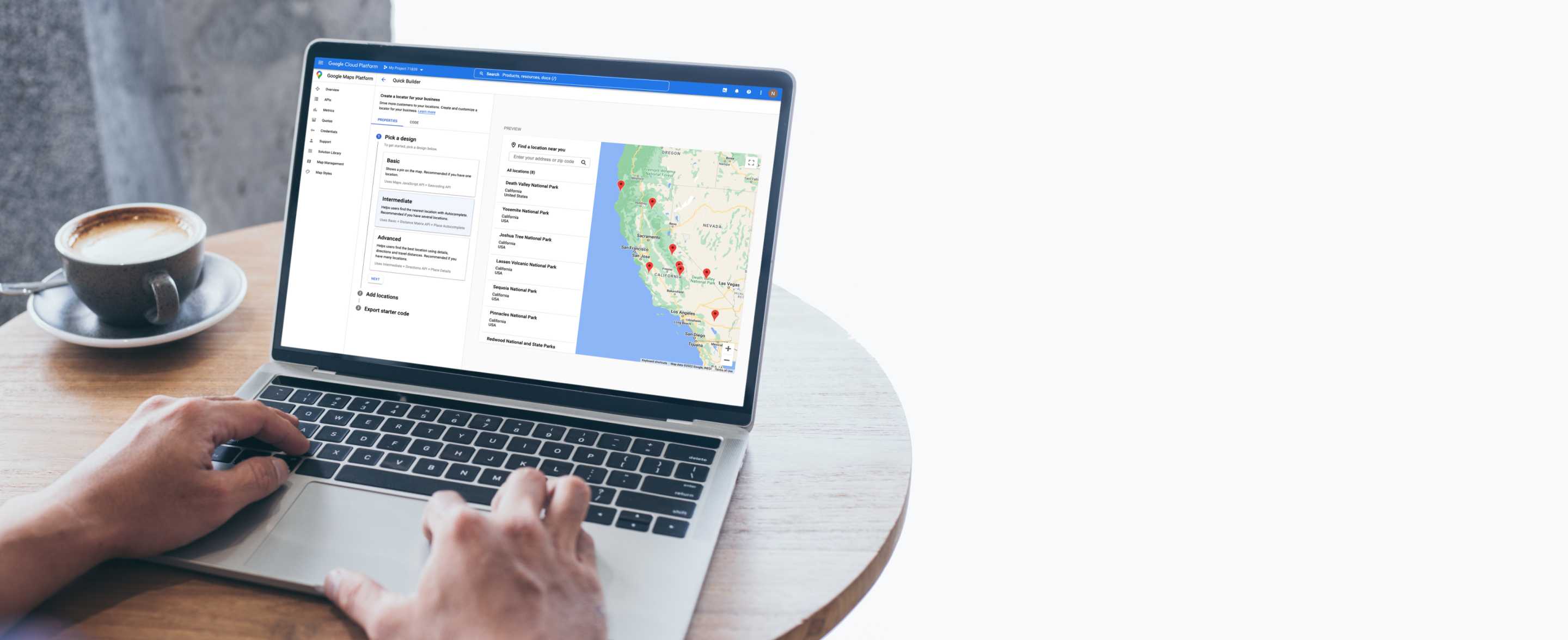
Display the ideal location
Create interactive maps with place details to help customers find and visit the nearest store, ATM, restaurant, auto shop, medical office, and more.

Show the nearest location
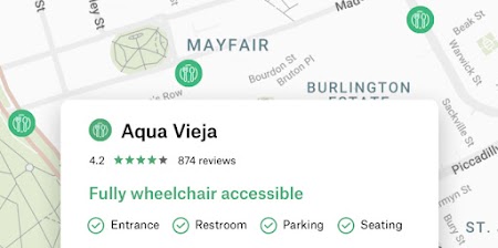
Add Place details
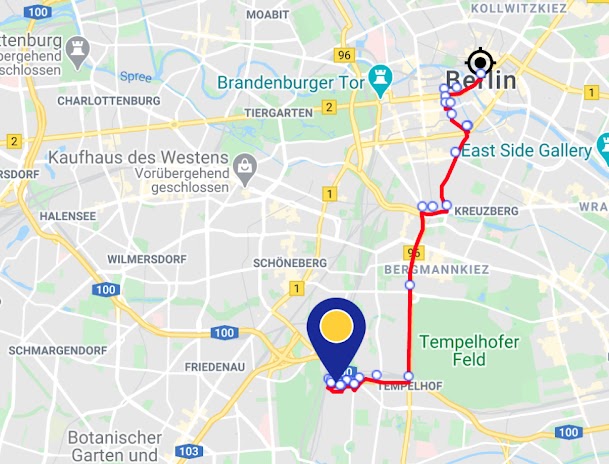
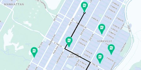
Provide directions
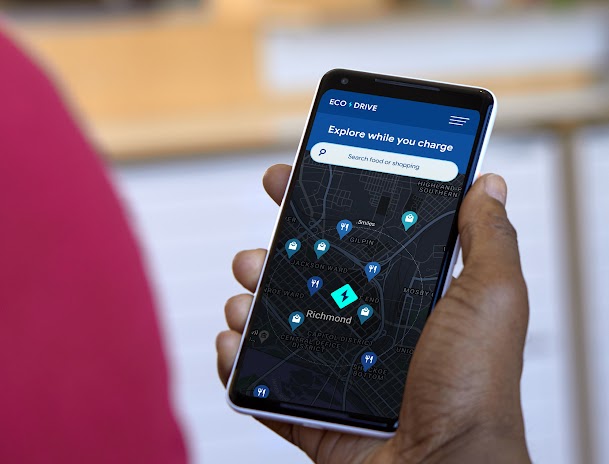
Highlight what’s nearby

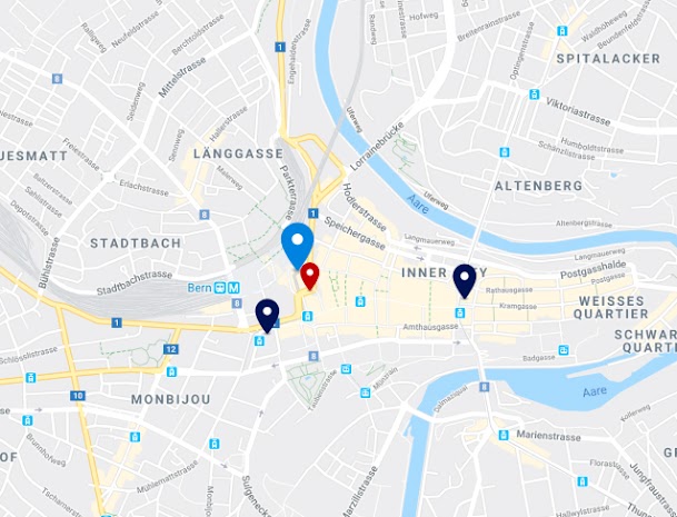

Helpful features
Products built for displaying the ideal location
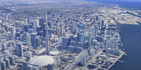
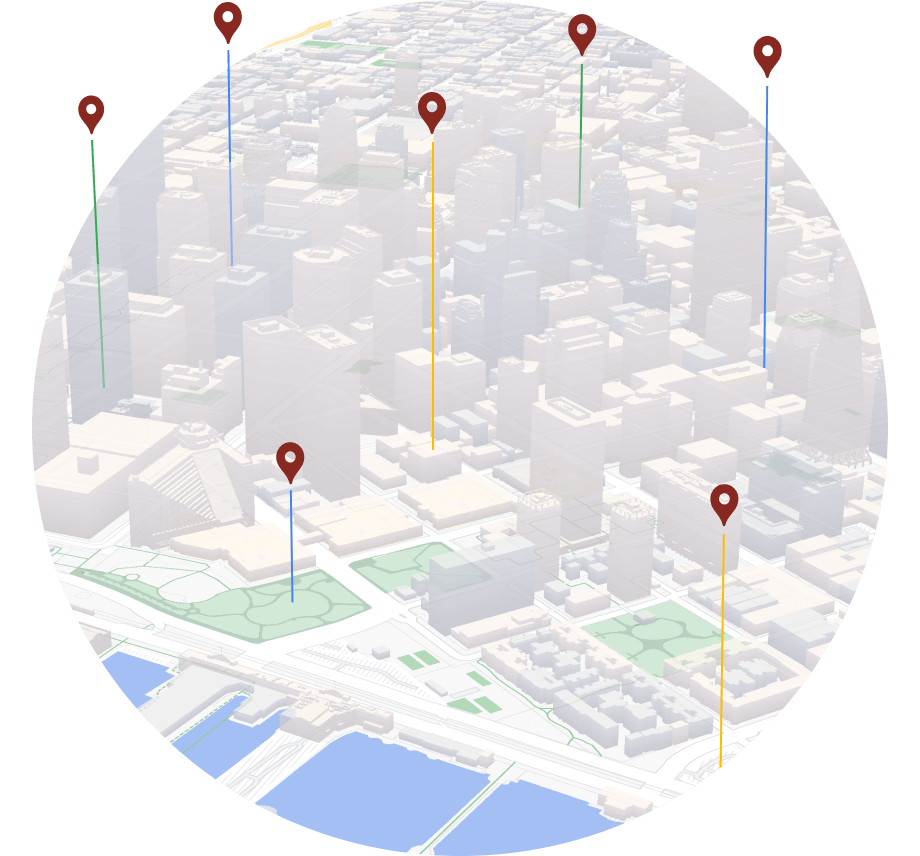
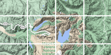
3D Maps
Create Photorealistic 3D Maps in Maps JavaScript using Google’s rendering technology.
Learn more

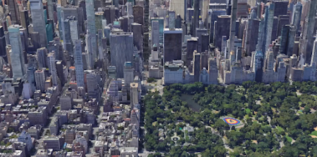
Aerial View
Delight your users with pre-rendered, 3D cinematic video of points of interest and their surroundings.
Learn more
Dynamic Maps
Customize and style interactive maps using Cloud-based maps styling for real time updates across all devices and platforms.
Learn more
Map Tiles
Design interfaces and interactions unique to your brand and design requirements, and customize your visualizations.
Learn more
Photorealistic 3D Tiles
Access a 3D mesh model of the real world and use the renderer of your choice to create cinematic experiences.
Learn more
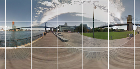
Street View Tiles
Use images taken from street level and tile metadata to create powerful, immersive experiences.
Learn more
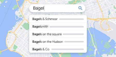
Autocomplete
Help users quickly find the exact place they’re looking for by automatically suggesting businesses and points of interest as they type.
Learn more
Geocoding
Convert addresses to geographic coordinates or the reverse.

Geolocation
Return the location of a device without relying on GPS, using geospatial data from cell towers and WiFi nodes.
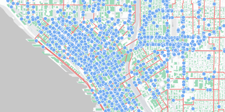
Nearby Search
Search for places within a specified area with the option to refine by place type.
Learn more

Places Aggregate
Get specific insights to improve user experience for users discovering or researching an area.

Places UI Kit
Bring the familiar Google Maps UI for Places to your front-end applications with just a few lines of code.
Learn more
Text Search
Provide information about a set of places based on a single search query and any specified location.
Learn more

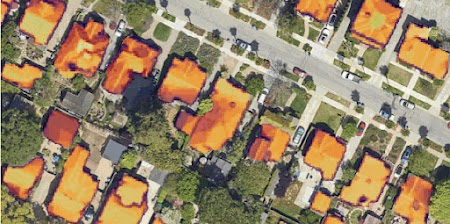
Solar
Use advanced data and imagery to create more advanced solar array designs and proposals, while eliminating costly site visits.
Learn more
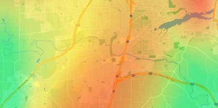
Pollen
Improve daily life for allergy sufferers with up-to-date information on different types and levels of pollen.
Learn more

We wanted the app to help customers across the world find their most convenient eat-in, takeaway, drive-thru, partner store, or delivery platform, and highlight which services are available...Google Maps Platform has become integral to our digital operations. New features and capabilities of Google Maps Platform products have allowed us to continue innovating.
Gordon Lucas
Global Head of Digital Engineering, Costa Coffee


-
*Free usage refers to monthly calls available at no cost. Essentials Map Tiles APIs provide up to 100,000 calls at no cost per SKU per month.
-
Product availability, functionality and terms may differ for customers with billing addresses in the European Economic Area (EEA). Learn more